Clanton Hills
Stage
Exploration
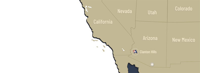
The Clanton Hills Project is 100% owned by Allegiant, subject to underlying royalties, and is located 112 km west of Phoenix, Arizona. Clanton Hills resembles many low-sulfidation, epithermal deposits in the Cordillera of the Western Hemisphere, but is unusual as silver and gold values are present over considerable widths, up to 30 metres, in the wall rocks of mineralized structures.
Clanton Hills was held by St. Joe Minerals during the 1970’s and 1980’s and two historic drill holes have been identified. However, no data is available regarding who conducted the drilling or the results. One hole was drilled to the north of an area where bedrock protrudes through the alluvium covering the valley floor and the other hole was drilled to the south of that area. Clanton Hills is centred around this area, a bedrock knob approximately a few hundred feet in diameter, and most the claims cover the pediment surrounding the knob where gravel cover is likely to be ten to fifty feet thick.
Columbus mapped and sampled, both continuous chip sampling and irregularly spaced outcrop sampling, irregularly shaped bodies of quartz and calcite in the silicified breccia making up the knob with the samples returning silver values from 12-242 g/t and gold values up to 0.17 g/t gold.
The breccia is interpreted to have been formed along a northwesterly-trending range front fault, which is mostly covered with shallow gravel. In addition, Columbus completed 3 lines of CSAMT geophysical survey, oriented perpendicular to the known structure. This work identified the known northwest-trending fault and two additional parallel faults completely covered with shallow alluvium.
Allegiant believes that the mineralization on the small knob is open along strike and at depth. Further, the two parallel fault zones identified by the CSAMT survey represent another high-quality exploration target at Clanton Hills.